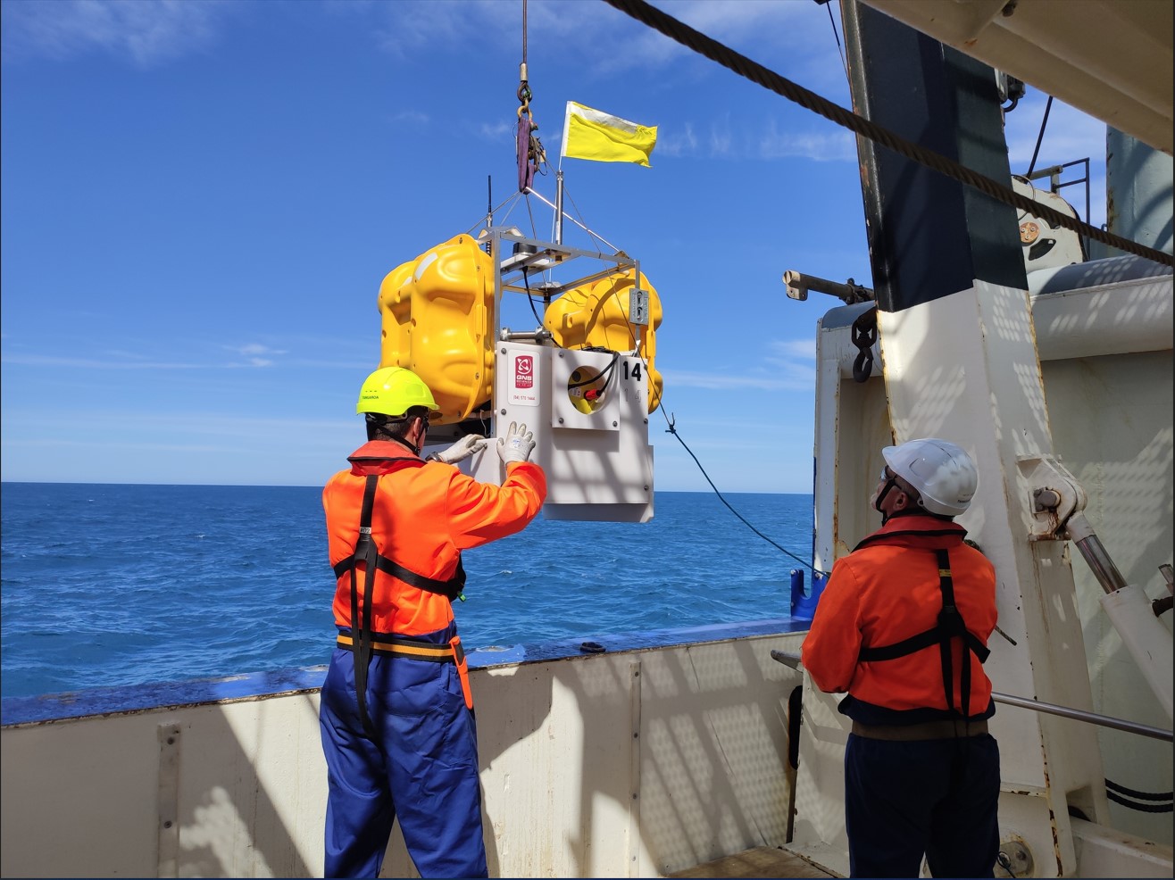
The Hikurangi Response Planning Toolbox is a research-based reference document for response planning, underpinned by a credible magnitude 8.9 earthquake and tsunami scenario, modelled by GNS Science.
A large Hikurangi Subduction Zone event like this would be catastrophic and the Toolbox provides recommendations for impacts of this scale, however it can also be scaled to support planning for smaller events, or even different events with similar impacts.
The Toolbox explores the complex impacts of a large Hikurangi event, across the built, economic, social and natural environments, and provides context, considerations, and recommendations for how to respond to these impacts. The Toolbox also contains a list of workstreams which function as a high-level framework for planning, and these should be adapted to meet the needs of your organisation.
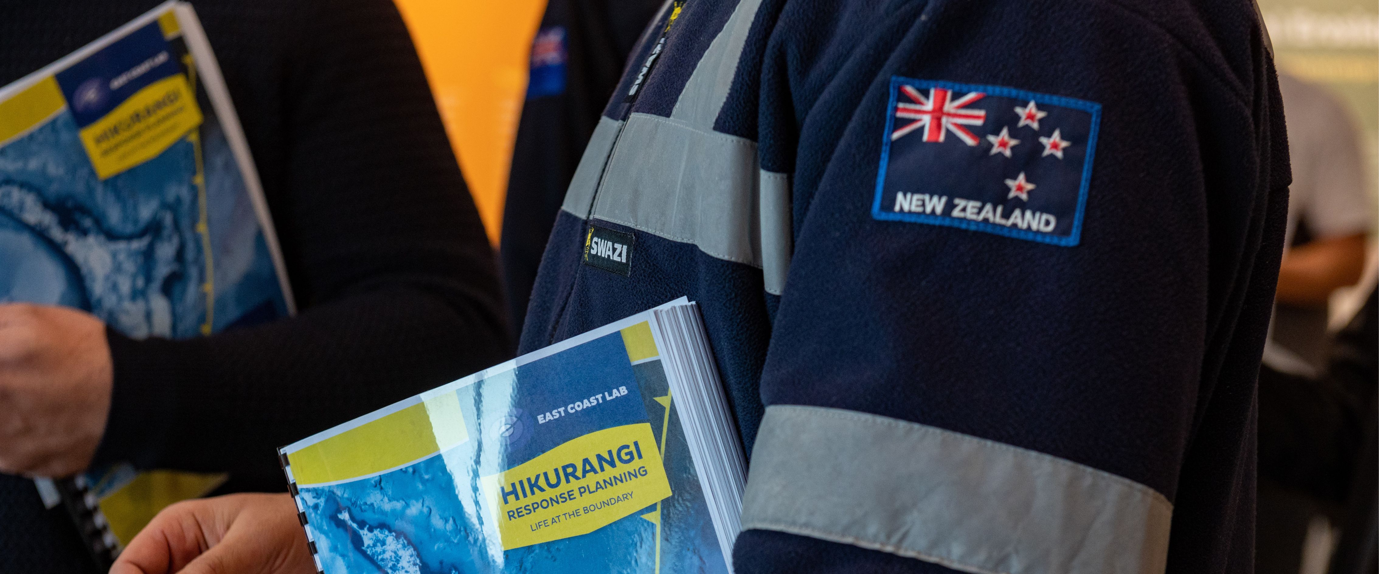
The summary below is a snapshot of the introductory section of the Toolbox. For more detail, including regional response concept papers for each of ECLAB's five regions (Te Moana-a-Toi/Bay of Plenty, Tairāwhiti/Gisborne, Te Matau-a-Māui/Hawke's Bay, Manawātu-Whanganui, and Pōneke/Wellington), download the full Hikurangi Response Planning Toolbox.
Download the full Hikurangi Response Planning Toolbox for free, to get your plan started:

 The Hikurangi Subduction Zone, located off the east coast of Te Ika-a-Māui, the North Island, is Aotearoa's largest and most active fault.
Subduction Zones are known for producing the largest earthquakes in the world. In 2011, a magnitude 9.1 earthquake occurred on the Japan Trench, east of mainland Japan, which also created a large and devastating tsunami. This event resulted in approximately 20,000 fatalities or missing people and over $210 billion in economic damage (The World Bank, 2014).
For more information: The Hikurangi Subduction Zone
Scientists know the Hikurangi Subduction Zone can produce large earthquakes and tsunami, and that these events have occurred in the past. Critically, recent research indicates there is a 1 in 4 chance of a major Hikurangi Subduction Zone event, in the next 50 years.
An estimated 65% of people in Aotearoa live within 5km of the ocean (LGNZ, 2019). Specifically, a national-scale coastal exposure assessment by NIWA, found that the proportions of normally resident populations in these low-lying areas by region were (based on 2013 census):
Large populations near the coast increases vulnerability to large tsunami because issues such as traffic congestion (both foot-based and vehicle based) during tsunami evacuations becomes more prevalent and problematic, this was observed during the 2004 Indian Ocean tsunami and 2011 Tōhoku Japan tsunami (Mas et al. 2015).

 The Toolbox has been developed using a credible magnitude 8.9 earthquake and tsunami planning scenario as a tool. This was developed by GNS Science, to help identify consequences of a large Hikurangi event.
A credible, magnitude 8.9 earthquake generates extreme (MMI 9.0-12.0) ground shaking along the east coast of Aotearoa, with MMI 7 and above shaking lasting for minutes in places.
Parts of Central Te Ika-a-Māui/North Island, also experience shaking of MMI 8.0-9.0, and most of the rest of Te Ika-a-Māui and northern Te Waipounamu/ South Island experience above MMI 7.0.
Between Mahia and East Cape the duration of intense shaking is very long, amplified by the thick sedimentary rock, with durations of severe ground shaking of more than 60 seconds.
Aftershocks occur after the main earthquake.
(MMI - Modified Mercali Intensity Scale)

The offshore magnitude 8.9 earthquake initiates a large tsunami, due to displacement of the seafloor.
Tsunami will be an ongoing hazard as multiple waves will arrive - the first wave will not necessarily be the largest.
Tsunami will represent an ongoing challenge for the initial response, reducing access to large portions of the coastline damaged by the initial earthquake. Aftershocks may also bring risk of further tsunami.
The following list is not exhaustive but represents some secondary and compounding risks which will complicate initial response activities and reduce the mobility of responders in the regions most affected.
Earthquake aftershocks |
Infrastructure damage |
Uplift/Subsidence
|
Landslides |
Communicable disease
|
Disaster waste/debris |
Liquefaction |
The Toolbox provides an overview of planning considerations relating to the following impacts, as well as recommendations for addressing these:
Social environment
|
Natural environment
|
Built environment
|
Economic environment
|
This list of key workstreams is intended to aid regional response planning, it is not intended to replace the Coordinated Incident Management System (CIMS) structure. The CIMS structure defines roles and responsibilities, where workstreams are intended to identify intended response outcomes, these may sit within one or across multiple CIMS functions.


Disclaimers and Copyright
While every endeavour has been taken by the East Coast Lab Hikurangi Subduction Zone M9 to ensure that the information on this website is
accurate and up to date, East Coast Lab Hikurangi Subduction Zone M9 shall not be liable for any loss suffered through the use, directly or indirectly, of information on this website. Information contained has been assembled in good faith.
Some of the information available in this site is from the New Zealand Public domain and supplied by relevant
government agencies. East Coast Lab Hikurangi Subduction Zone M9 cannot accept any liability for its accuracy or content.
Portions of the information and material on this site, including data, pages, documents, online
graphics and images are protected by copyright, unless specifically notified to the contrary. Externally sourced
information or material is copyright to the respective provider.
© East Coast Lab Hikurangi Subduction Zone M9 - www.eastcoastlab.org.nz / +64 6 835 9200 / info@eastcoastlab.org.nz