Project period: July 2018 - June 2020
Organisations: Bay of Plenty, Tairāwhiti, Hawke's Bay, Manawatu/Wanganui & Wellington Civil Defence Emergency Management Groups, Ministry of Civil Defence & Emergency Management & East Coast LAB
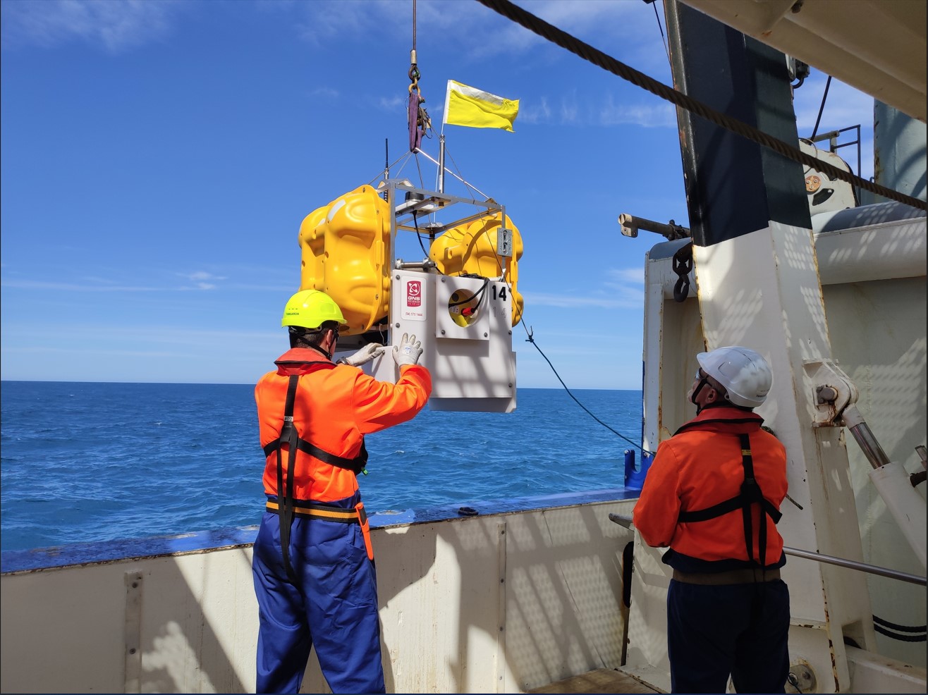
Project location: North Island's East Coast
 We know the Hikurangi subduction zone can produce large earthquakes and tsunamis, and that these events have occurred in the past. This knowledge, combined with current research suggesting there is a greater likelihood of a rupture following the Kaikoura/Hurunui earthquake in 2016, and increased pressure building on the fault is the driving force behind this project.
Emergency managers, scientists, and key stakeholders have worked collaboratively to develop the Hikurangi Response Planning Toolbox. The toolbox is split into two volumes and can be downloaded here (from 2 July 2020).
Inside the toolbox you will find:
Volume 1 'Risk Toolbox': Information about the hazard, likelihood, vulnerability and consequences (essentially a risk assessment).
Volume 2 'Planning Toolbox': Regional response planning considerations for emergency managers, readiness recommendations and key messages/resources for community engagement about the subduction zone.
Annex A: A series of 'Regional Response Concept Papers', developed for five CDEM Groups. These papers include likely regional impacts, Controller's Intent, Group response objectives and priorities, regional response phases and an initial action plan for Groups to use either as a starting point for regional response planning. Note sensitive information has been redacted from this Annex.
The toolbox is based on a credible magnitude 8.9 earthquake and tsunami scenario. This scenario has used as a planning tool to identify the consequences of a large Hikurangi subduction zone earthquake and tsunami on the North Island's east coast. It was developed for the five Civil Defence and Emergency Management (CDEM) Groups likely to be the first and most impacted by a future event on the subduction zone - Bay of Plenty, Tairāwhiti (Gisborne), Hawke's Bay, Manawatū-Whanganui and Wellington.
Scenario-based planning is a common approach used by emergency planners when response planning. It is important to note however that the magnitude 8.9 scenario, whilst scientifically credible, is one of many possibilities- scientists cannot predict when or how any real event will occur.
Communities are at the centre of all response planning. We are all responsible for ourselves and our families – we are all part of Civil Defence in New Zealand.
Visit getready.govt.nz for information on how to prepare for an earthquake or tsunami.
Check out the video below to learn more about the credible scenario being used and what you can do to prepare for a large Hikurangi event:

 Scientific reports:
The GNS Science credible scenario report can be found here.
The GNS Science aftershock study relating to the credible scenario can be found here.
Got a question? Check out the Hikurangi Response Plan FAQs.

“There’s no avoiding the fact that all of Aotearoa New Zealand is at risk of earthquakes, and all of our coasts...
17 July 2020

Scientists will beam their way into Kiwi’s homes next month, thanks to the 2020 East Coast LAB virtual talk serie...
29 May 2020

New Zealand sits on a subduction zone just like Japan does, and people should be prepared for the next large earthq...
4 April 2019

Hawke’s Bay’s resilience and planning for natural hazards was given a boost today thanks to $420,000 in Ministr...
28 February 2019

Planning for a rupture of New Zealand’s largest fault - the Hikurangi subduction zone - has kicked into motion, w...
10 January 2019

Hawke’s Bay Civil Defence Emergency Management is leading a national project aimed at ensuring the country is cap...
11 July 2018

A project aimed at developing a coordinated response to a rupture of the Hikurangi subduction zo...
27 November 2017
Download the Toolbox for free, and start planning for your business, agency, organisation, department, iwi, or hapū. Head over to Hikurangi Response Planning Toolbox page to get started.
To learn more about the Hikurangi Subduction Zone, head over to our Learn page.
Disclaimers and Copyright
While every endeavour has been taken by the East Coast Lab Hikurangi Subduction Zone M9 to ensure that the information on this website is
accurate and up to date, East Coast Lab Hikurangi Subduction Zone M9 shall not be liable for any loss suffered through the use, directly or indirectly, of information on this website. Information contained has been assembled in good faith.
Some of the information available in this site is from the New Zealand Public domain and supplied by relevant
government agencies. East Coast Lab Hikurangi Subduction Zone M9 cannot accept any liability for its accuracy or content.
Portions of the information and material on this site, including data, pages, documents, online
graphics and images are protected by copyright, unless specifically notified to the contrary. Externally sourced
information or material is copyright to the respective provider.
© East Coast Lab Hikurangi Subduction Zone M9 - www.eastcoastlab.org.nz / +64 6 835 9200 / info@eastcoastlab.org.nz