Revelle Blog #12 The what and the why
Alec Yates is a Research Assistant at Victoria University of Wellington. He is currently working and reporting on the research occurring along the Hikurangi subduction zone on board the US research vessel Revelle.
We are now underway on the last of three voyages being undertaken by the US research ship R/V Roger Revelle, departing from Auckland four hours earlier than originally scheduled.
It has been a relatively quiet start for the science team, where most of the final preparations were undertaken by the ship crew. For us, we used the evening downtime as an opportunity to explore Auckland CBD.
We’ve got a bit of a wait until we reach the first site, approximately 24 hours, so it is a relatively comfortable transition into the onboard work schedule. With that in mind, here is the what and why of this voyage, as promised.
Why are we out here?
The primary target for this voyage is the Hikurangi subduction zone, which runs offshore from east of Gisborne to the top of the South Island. This is where the Pacific tectonic plate subducts, or move, beneath the Australian Plate. The North Island of New Zealand rides on top of the Australian Plate, whereas the South Island contains the boundary between the two plates.
The major concern for scientists is the potential for the Hikurangi subduction zone to generate a large earthquake and tsunami, with subduction zones typically responsible for the world’s largest earthquakes and tsunami. Both the 2004 Boxing Day earthquake in Indonesia and the 2011 Japan earthquake originated within subduction zones, each producing significant tsunamis. Developing a greater understanding of our own subduction zone here in New Zealand is vital, as the more we know, the better prepared we can be in the future.
What are we doing?
The Hikurangi subduction zone is the subject of a large amount of research over across multiple science disciplines. Onboard this time, the scientists have strong expertise in the field of electromagnetism. They study how efficiently electrical energy passes through the Earth.
The scientists onboard from Lamont-Doherty Earth Observatory, Columbia University, are interested in how fluid interacts with the subduction zone.
Fluid is a good conductor of electrical energy. Scientists use electromagnetic instruments to figure out where fluids may or may not be based on electrical energy readings.
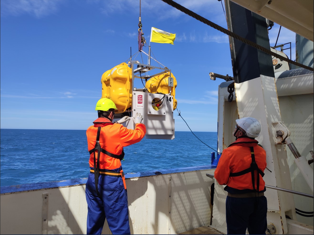
This particular voyage will recover 42 electromagnetic instruments that were installed onto the seafloor late last year. These have been recording naturally occurring electromagnetic energy that originates in the Earth’s atmosphere.
At the time of the original deployment, scientists also transmitted a man-made electrical energy into the seafloor using a controlled source so they can study the shallow rocks beneath the seafloor.
Why do we care about fluid conditions?
In the northern portion of the Hikurangi subduction zone, the Australian plate and the Pacific plate are sliding past each other relatively freely. In the southern portion, however, the plates are locked, meaning that are they stuck together.
Eventually they will become unstuck, releasing stored energy in the form of an earthquake. Scientists believe water could be a major factor controlling whether the plates are locked or freely slipping.
We want to compare the fluid conditions between the northern and southern portions of the Hikurangi subduction zone to better understand the role water plays in each portion.
Water also plays a role in many other tectonic processes. The subduction of tectonic plates is the primary process by which water, trapped within sinking plates, is transported into the Earth’s interior.
Studying the Hikurangi subduction zone allows scientists to better understand this process, with the instruments placed offshore also capable of being combined with onshore measurements to better understand the presence of fluid throughout New Zealand.
We’ve got a couple of scientists on board from GNS who are very keen to get hold of this new offshore data for this reason!
Back to Slow-Slip Earthquakes and Fluid Flow at the Hikurangi Subduction zone
Disclaimers and Copyright
While every endeavour has been taken by the East Coast Lab Hikurangi Subduction Zone M9 to ensure that the information on this website is
accurate and up to date, East Coast Lab Hikurangi Subduction Zone M9 shall not be liable for any loss suffered through the use, directly or indirectly, of information on this website. Information contained has been assembled in good faith.
Some of the information available in this site is from the New Zealand Public domain and supplied by relevant
government agencies. East Coast Lab Hikurangi Subduction Zone M9 cannot accept any liability for its accuracy or content.
Portions of the information and material on this site, including data, pages, documents, online
graphics and images are protected by copyright, unless specifically notified to the contrary. Externally sourced
information or material is copyright to the respective provider.
© East Coast Lab Hikurangi Subduction Zone M9 - www.eastcoastlab.org.nz / +64 6 835 9200 / info@eastcoastlab.org.nz
