Scientists looking for lost earthquake instruments

Scientists are asking for help to find a few earthquake instruments, belonging to GNS Science and Columbia University in the United States that failed to surface when they tried to recover them from the seafloor along the Hikurangi subduction zone off the North Island’s East Coast.
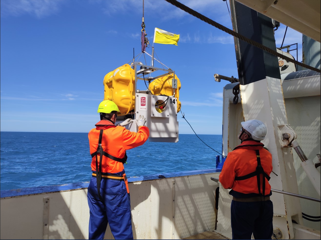
These high-tech instruments were deployed on the seafloor off the Hawke’s Bay coast in late 2018, and have been recording earthquakes at New Zealand’s largest and most active fault.
Although most of the instruments installed were successfully recovered last year, a few of them did not respond to their release signal during a recent voyage on R/V Tangaroa.
Dr Laura Wallace of GNS Science says this happens occasionally, as operating instruments in very deep water is technologically challenging.
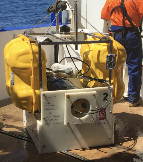
The instruments are about the size of a washing machine, are mounted on steel frames, and have large yellow floats. It is possible they may float to the surface of their own accord and wash up anywhere along New Zealand’s east coast.
They are marked with the contact information of either GNS Science, or Columbia University on the side of them.
“The information recorded on the instruments is very valuable to us, and we would love to hear from anyone if they find one of these sensors washed up on the shore,” Dr Wallace says.
The scientists ask anyone finding an unusual piece of equipment such as this to contact GNS Science at 04-570-1444.
Initial data from the seafloor instruments that were collected earlier this month, suggests many more earthquakes are happening off the North Island's East Coast than can be detected by the onshore network of instruments operated by GeoNet.
The data collected helps scientists learn more about earthquakes and slow-slip events at the Hikurangi subduction zone, and what this means for future earthquakes in New Zealand.
Dr Wallace says the focus of the research project will help to understand how, why, and how often the Hikurangi subduction zone moves in slow-slip events and large earthquakes.
This research is being undertaken under a five-year MBIE-funded Endeavour project led by GNS Science, with major collaboration and contributions from other New Zealand and international partners.
Back to SHIRE: Seismogenesis Hikurangi Integrated Research Experiment
Disclaimers and Copyright
While every endeavour has been taken by the East Coast Lab Hikurangi Subduction Zone M9 to ensure that the information on this website is
accurate and up to date, East Coast Lab Hikurangi Subduction Zone M9 shall not be liable for any loss suffered through the use, directly or indirectly, of information on this website. Information contained has been assembled in good faith.
Some of the information available in this site is from the New Zealand Public domain and supplied by relevant
government agencies. East Coast Lab Hikurangi Subduction Zone M9 cannot accept any liability for its accuracy or content.
Portions of the information and material on this site, including data, pages, documents, online
graphics and images are protected by copyright, unless specifically notified to the contrary. Externally sourced
information or material is copyright to the respective provider.
© East Coast Lab Hikurangi Subduction Zone M9 - www.eastcoastlab.org.nz / +64 6 835 9200 / info@eastcoastlab.org.nz
