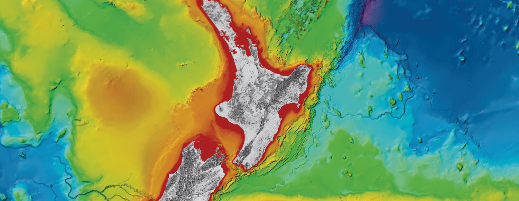
Science talk on Hikurangi subduction zone comes to Manwatū-Whanganui
Two of the country’s leading scientists will share the latest research into New Zealand’s largest and most active fault in public talks in Manawatū-Whanganui this week.
Hosted by Manawatū Whanganui Civil Defence and Emergency Management Group, Whanganui Science Forum, GNS Science and East Coast LAB (Life at the Boundary), scientists will present the latest findings on the Hikurangi subduction zone, slow slip events, earthquakes and tsunami, and the risk they pose to New Zealand.
Public talks will take place in on Tuesday 26, November at 7.30pm, Davis Lecture Theatre, Whanganui Regional Museum, Whanganui and Wednesday 27 November at 7.00pm at the Globe Theatre, Main Road, Palmerston North.
Horizons Regional Council emergency manager and Manawatū Whanganui Civil Defence and Emergency Management Group lead Ian Lowe says people will learn about the diverse scientific research projects underway to understand the subduction zone during the hour-long talks.
“Scientists have been working tirelessly researching the Hikurangi subduction zone to seek patterns, movements and possible clues from the past, to hopefully one day get a clearer picture of what is happening out there, and what that might mean for New Zealand. These talks will give people the chance to hear about it first hand from the experts,” he says.
Much of the research on the Hikurangi subduction zone is being undertaken under a five-year, $6 million MBIE-funded Endeavour project led by GNS Science, with major collaboration and contributions from international partners.
Project leader Dr Laura Wallace of GNS Science says this is a great opportunity for Whanganui and Palmerston North communities to learn more about the range of science they have been doing, to understand more and more about the risks the Hikurangi subduction zone poses.
“The last several years have seen some major scientific expeditions to the Hikurangi subduction zone, and the results of these have really opened our eyes to what makes New Zealand’s largest plate boundary tick”, she says.
Dr. Kate Clark of GNS Science has been studying evidence for past earthquakes at the subduction zone, and says “We know now the Hikurangi subduction zone has ruptured in large earthquakes at least 10 times over the last 7500 years. Our research shows that the full length of the subduction zone may have ruptured about 840 years ago causing a magnitude 8.5 or greater earthquake.”
Kate Boersen of East Coast LAB says this research is one of the reasons why Manawatū-Whanganui, Tairāwhiti (Gisborne), Hawke's Bay, and Wellington Civil Defence and Emergency Management (CDEM) Groups are working together to plan and prepare for a large Hikurangi subduction zone earthquake and tsunami.
“Those in Manawatū-Whanganui will likely experience a long and strong earthquake, as well as tsunami on both coasts, landslide, liquefaction and other hazards. It’s really important that people make an emergency plan, practise their drop, cover, hold and their tsunami hīkoi,” Ms Boersen says.
Disclaimers and Copyright
While every endeavour has been taken by the East Coast Lab Hikurangi Subduction Zone M9 to ensure that the information on this website is
accurate and up to date, East Coast Lab Hikurangi Subduction Zone M9 shall not be liable for any loss suffered through the use, directly or indirectly, of information on this website. Information contained has been assembled in good faith.
Some of the information available in this site is from the New Zealand Public domain and supplied by relevant
government agencies. East Coast Lab Hikurangi Subduction Zone M9 cannot accept any liability for its accuracy or content.
Portions of the information and material on this site, including data, pages, documents, online
graphics and images are protected by copyright, unless specifically notified to the contrary. Externally sourced
information or material is copyright to the respective provider.
© East Coast Lab Hikurangi Subduction Zone M9 - www.eastcoastlab.org.nz / +64 6 835 9200 / info@eastcoastlab.org.nz
